
Florida experiences more hurricanes than any other state in the USA with its season starting June 1st and ending November 1st, reaching its peak between August and October.
During this time, Florida is especially exposed to tropical storms and hurricanes forming in the Gulf of Mexico, Atlantic Ocean, and Caribbean.
The National Oceanic and Atmospheric Administration (NOAA) predicts there will be between 13 and 19 named storms, each with winds of at least 39 mph. Six to 10 of those winds are expected to strengthen into hurricanes, with wind speeds of 74 mph or more.
Additionally, 3 to 5 of those hurricanes could become major storms, Category 3 or higher, with winds exceeding 111 mph. NOAA states it has 70% confidence in these estimates.
”Hurricanes in other places have been pretty bad from what I heard and I am glad Miami does not gotten as much damage during recent storms as have other places,” said junior Teresa Kurishingal.
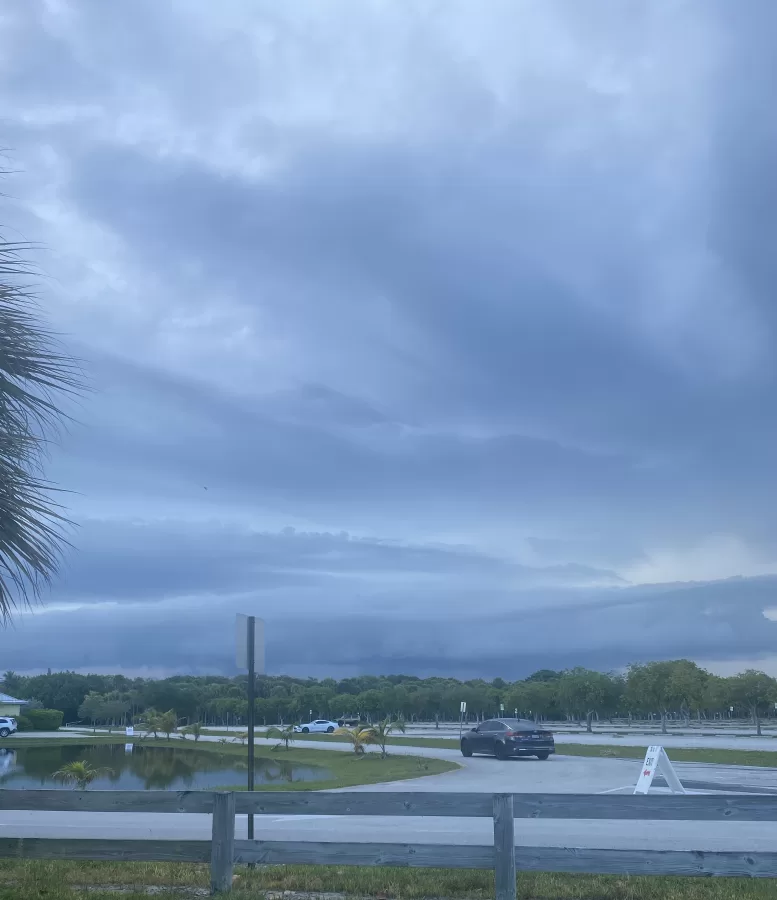
Hurricane Erin (the new storm to take into effect this current season) has already made an impression on the east coast with triggering its dangerous rip currents and rough surf that have already resulted in swimming bans, water rescues, and beach closures.
Hundreds of thousands of beach tourists were keeping an eye on the large hurricane Erin, which was expected to bring life-threatening conditions along the Atlantic Coast from central Florida to Canada.
”A lot of people take advantage of hurricanes meaning that they celebrate it much and when it is a serious natural event that can hurt people’s lives its not something to be happy about,” explains junior Joshua Rocha.
Due to the rip currents, there were 60 rescues in Wrightsville beach in the state of North Carolina. Those dozens of rescues had caused authorities to close the beach for the remainder of the week.
The National Hurricane Center advised people in these areas to follow the instructions of lifeguards, local officials, and beach warning flags.